Fractured - The Shattered Rock Of The Arctic Tundra
5 comments
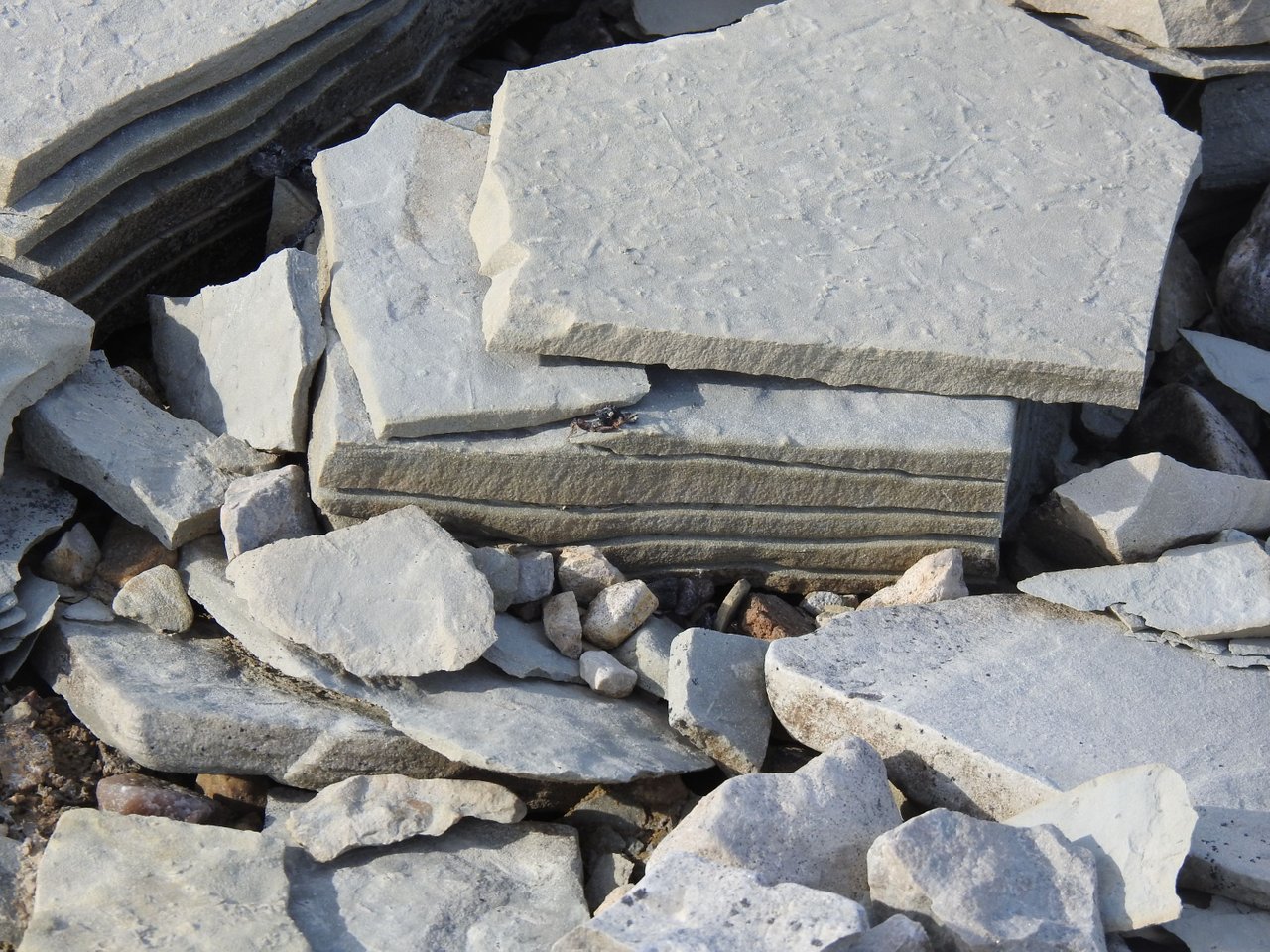
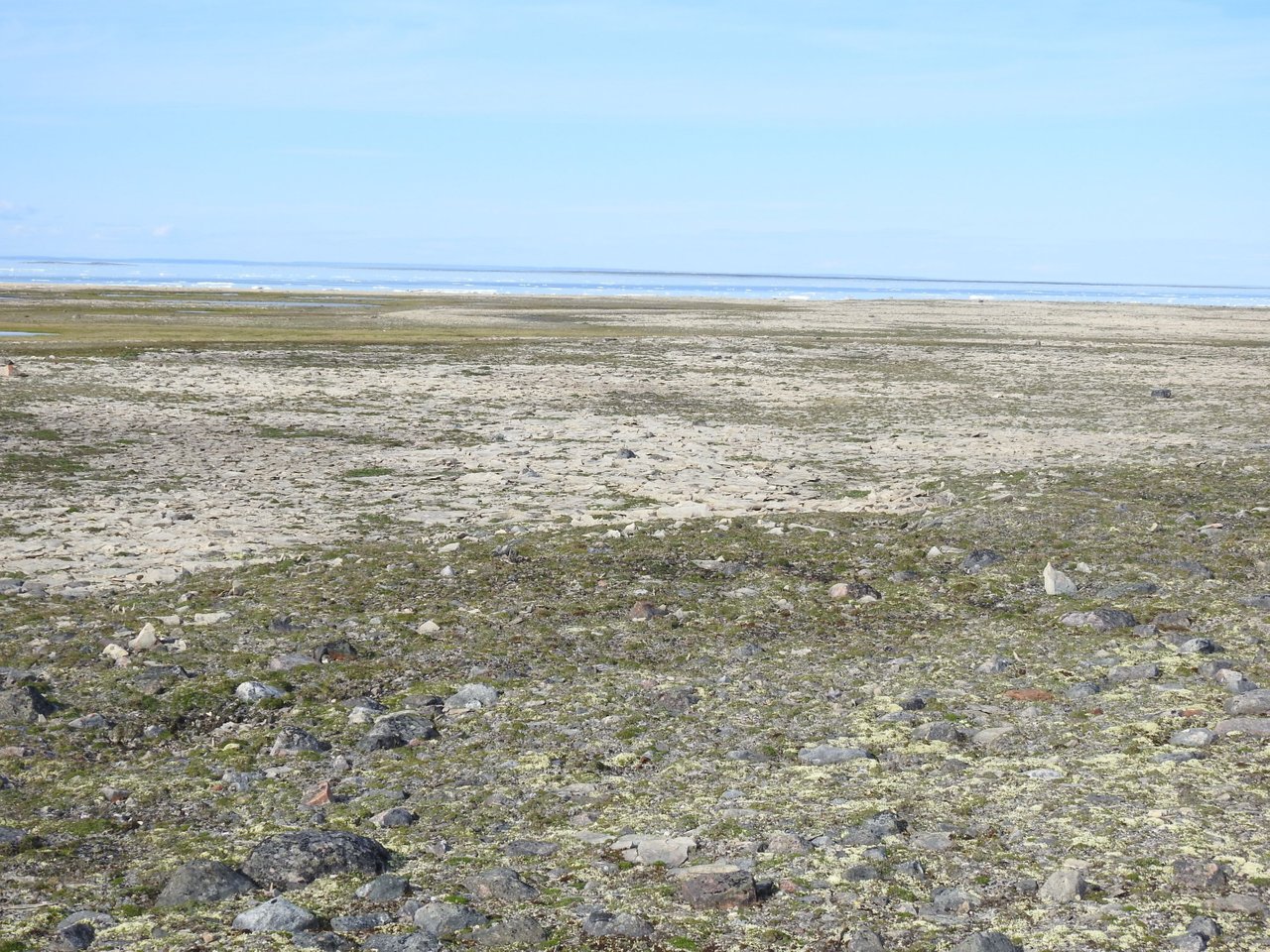
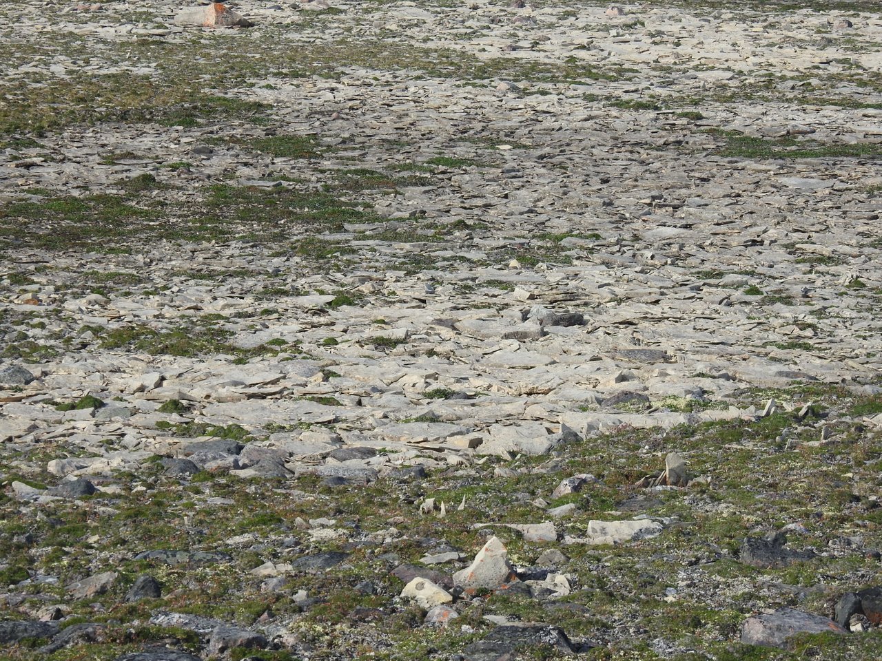
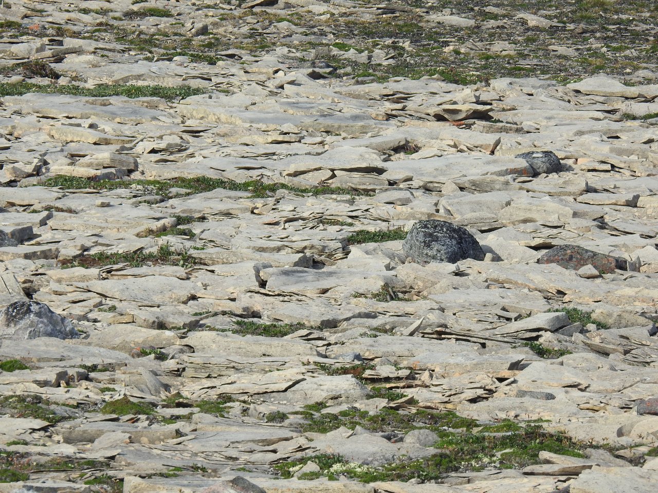
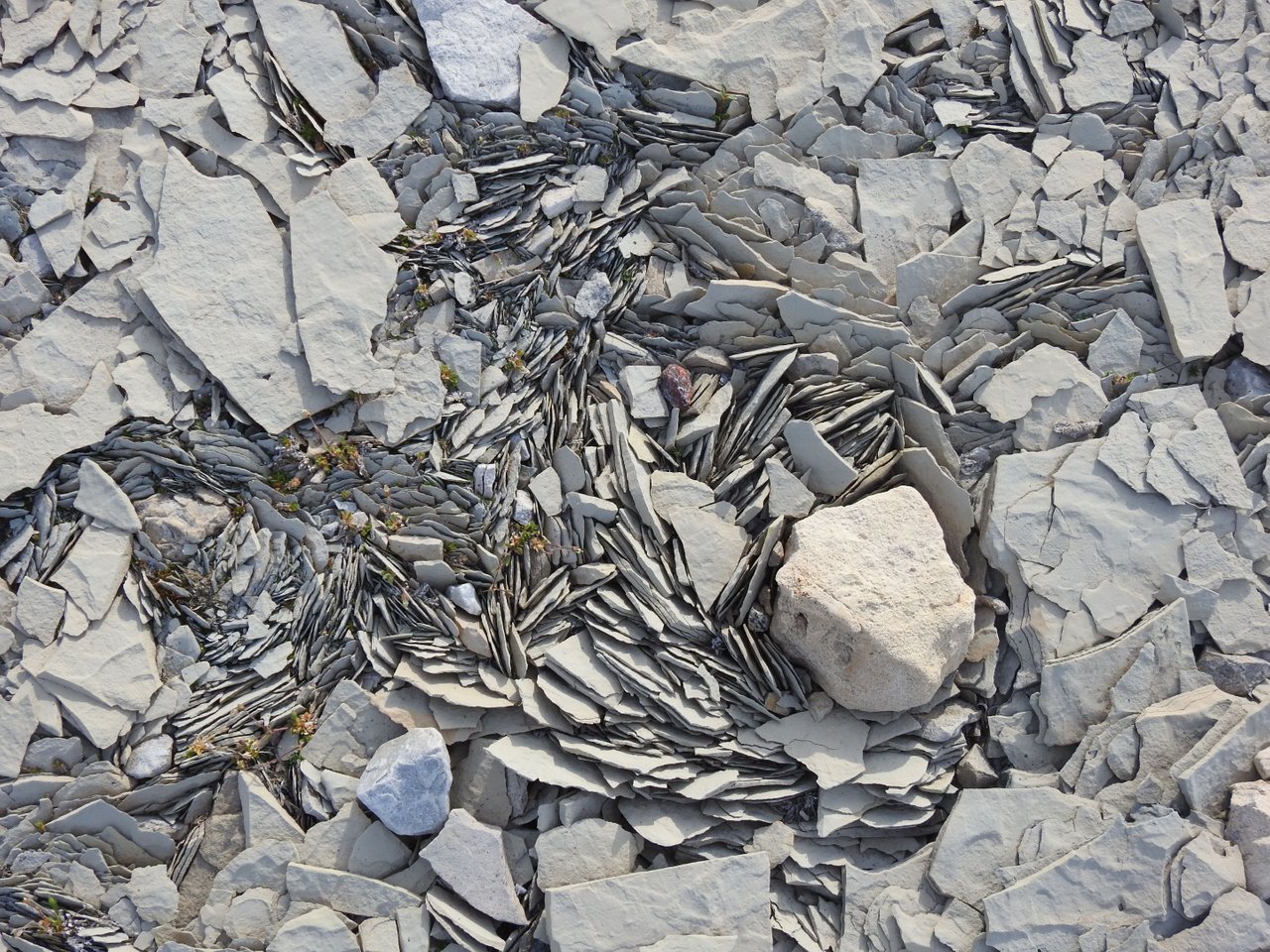
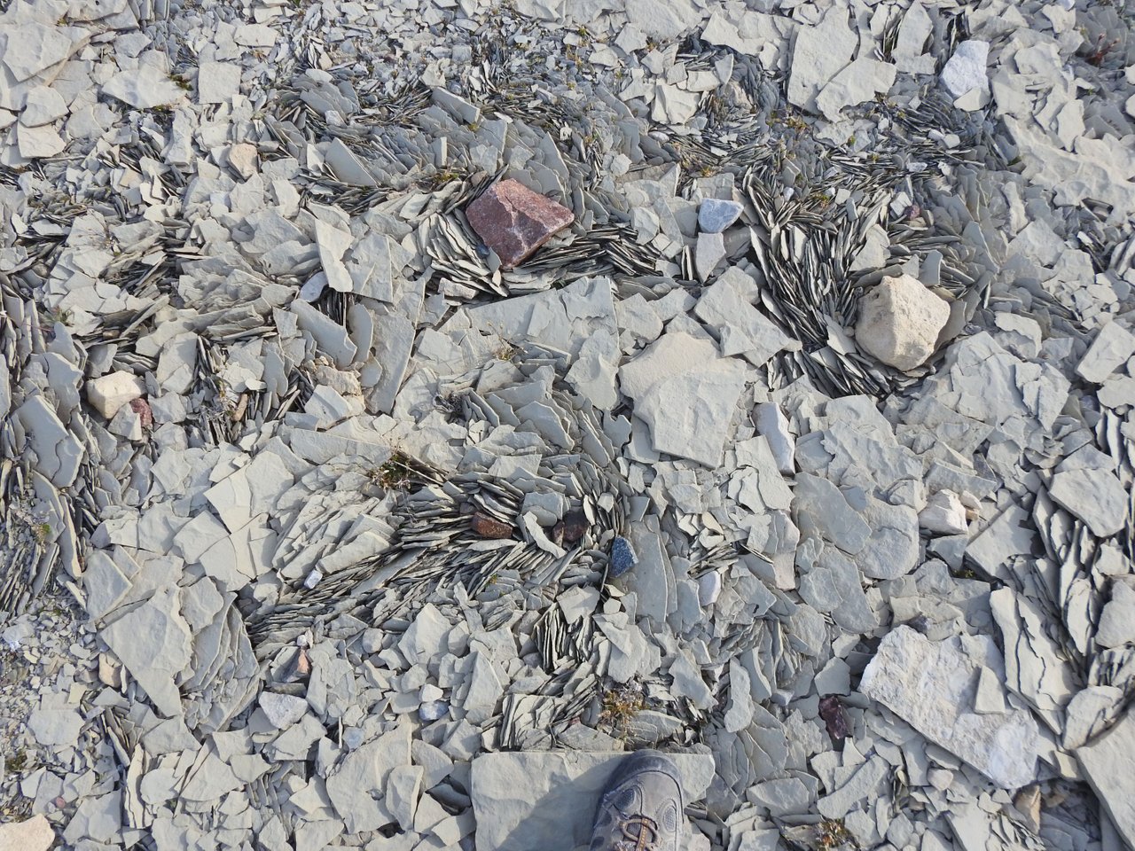
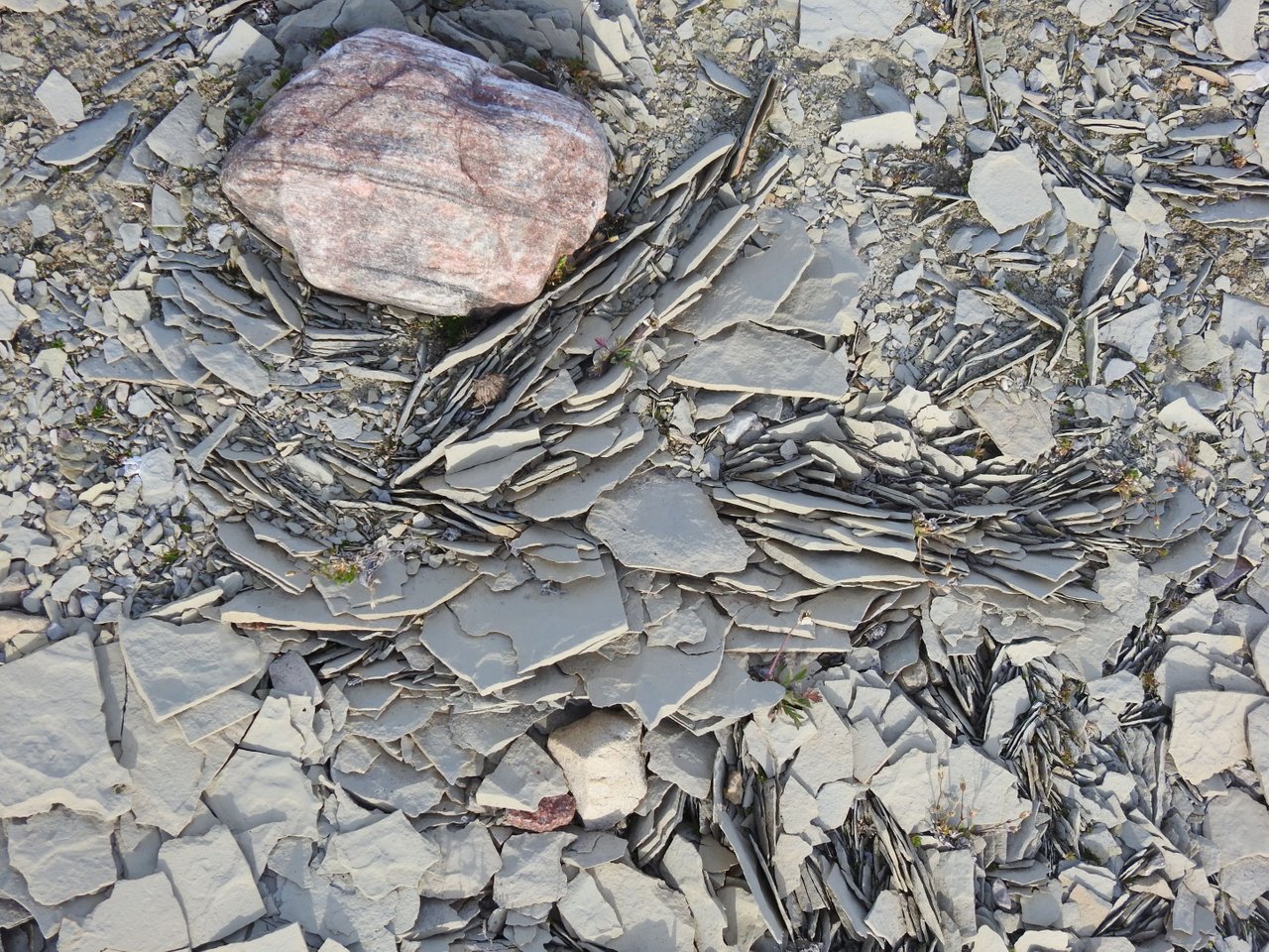
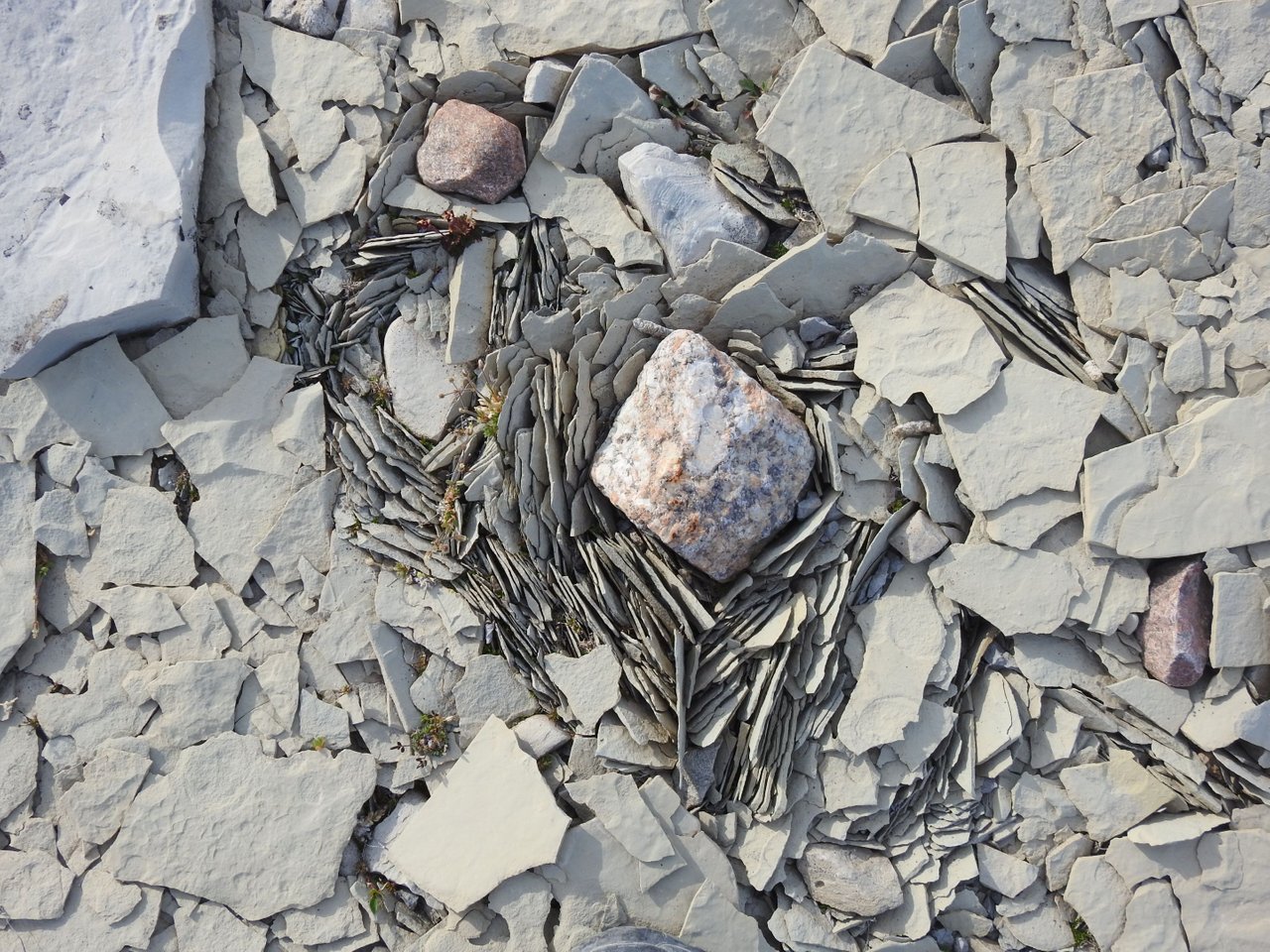
I bring to you a short, little blog featuring some of the extremely fractured limestone rocks that make up our wonderful Arctic island. Igloolik Island is a very recent geological feature that only started to emerge from the ocean depths with the receding of the glaciers from the previous ice age. The low portions of the island are covered in a thin layer of pebbly, gritty debris called Glacial Till that was laid down by glaciers crossing the region a few thousand years ago. The bedrock of the island consists of dolomite capped with a layer of limestone. Both types of rock hold many fossils of creatures known to have lived some 500 million years ago.
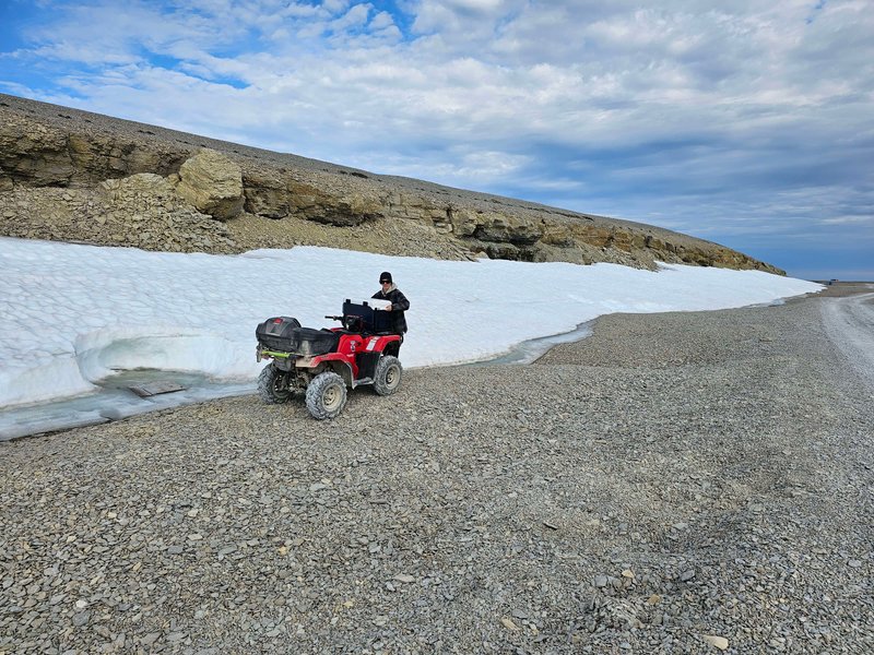
4,000 years ago the highest points on the island emerged from the watery depths and over the next forty centuries it slowly creeped higher. Today its highest point is the Igloolik Airport at 56 meters above sea level. This rise has created many raised beaches of pebble material ringing the island, with only the highest points scrubbed clear of till and debris.
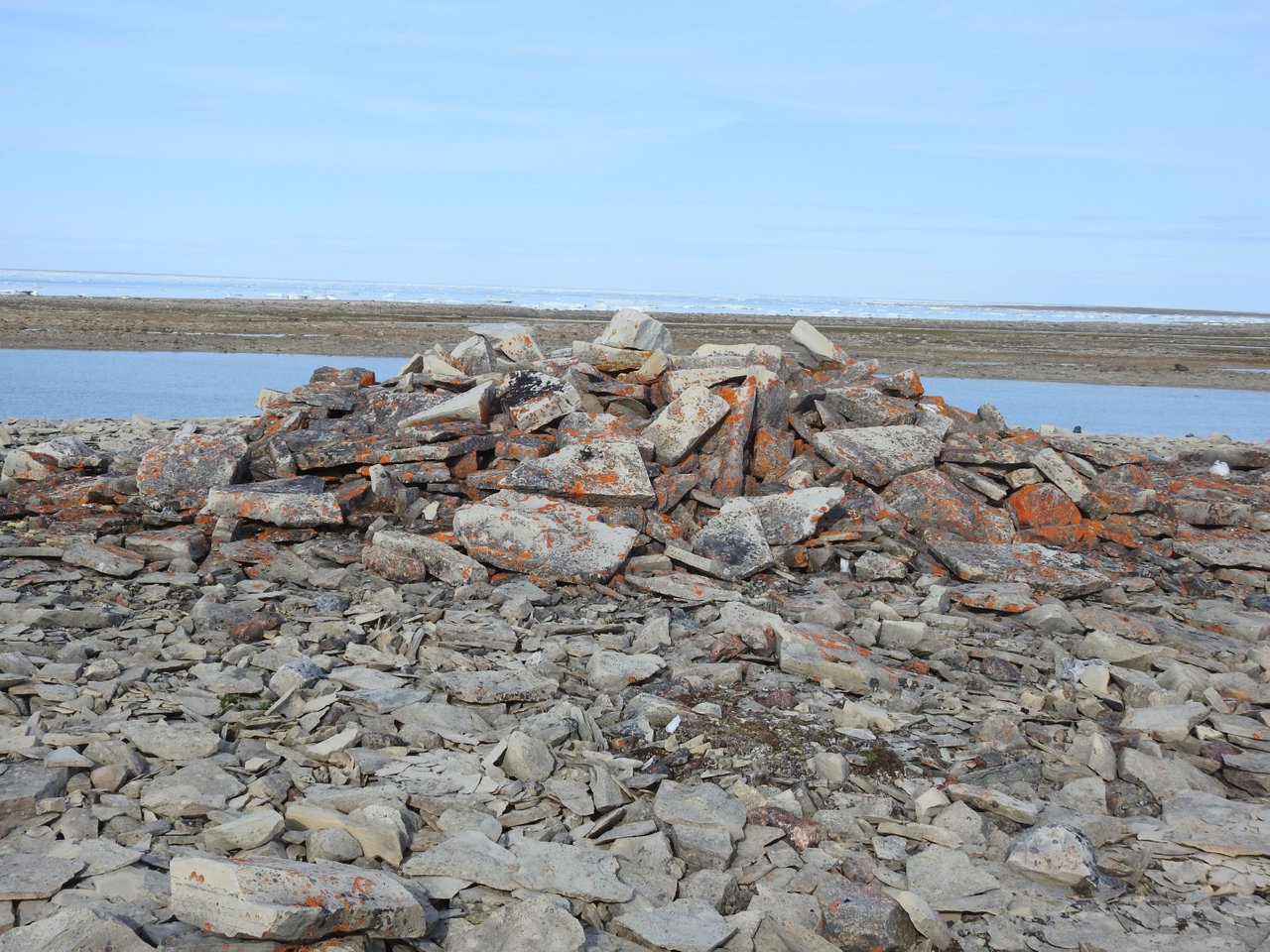
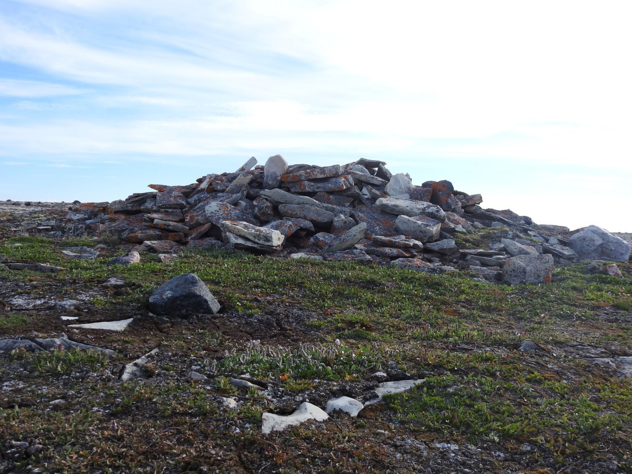
Only the upper three feet of the ground thaws in the short summer, which is where most of the weathering process happens. Below around 3 feet, the ground remains permanently frozen to a depth of roughly 400 metres. Broken bedrock slabs littler the entire surface of the island creating scree slopes along cliff faces. The repeated thawing and frosting of the bedrock create a churning action in the upper meter of soil. These frost heaves and mud boils result in materials being sorted and fractured. When freezing occurs, plated bedrock fragments are split off and thrust sideways or upwards by the expansion of water as it changes to ice.

Find my artwork for sale exclusively on
Find my photographs of Nunavut scenery and Wildlife on
Follow me on twitter here: Hive Related Account / Photography and Art Account
I am also on Instagram: But only Photography and Art
More art on DeviantArt at: Ice-O-Lated
provided by thepeakstudio


Comments